 3DGS
3DGS
Point cloud processing services, simplified.
You capture the data. We turn it into registered point clouds, BIM models and as-built drawings, so you don't need a modeling bench to hire and keep busy. Scoped in hours, billed on what we use, capped at the quote.
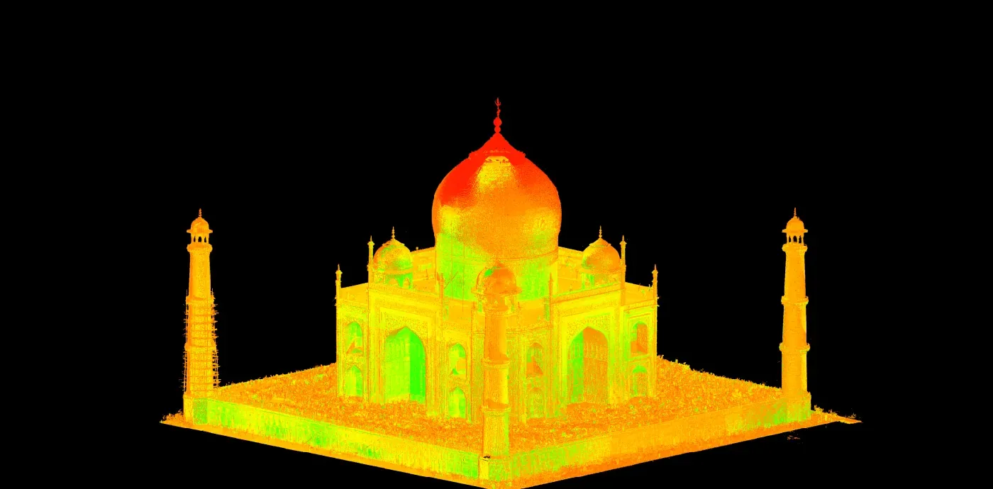
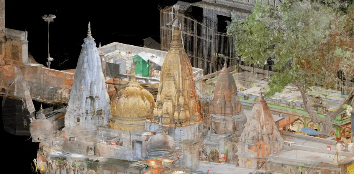
Everyone's heard of the Taj Mahal. We had the opportunity to scan & process it.

A few more you'd recognize.



Clients
 General Electric


 State of Montana
BP
State of Montana
BP
- Tenure
- Since 2015Processing lidar, every working day
- Reach
- 21 countriesNamed work, US and international
- LOD
- 100 to 500Whatever your spec actually asks for
- Registration
- ±2 to 6 mmTolerance we hold
What it costs
A scope before you commit, not a bill after.
Most shops price per square foot. We review your scans first and quote a capped number of hours, usually within 1 to 2 business days. Revisions to reach your client's sign-off sit inside that cap.
How we quoteWork
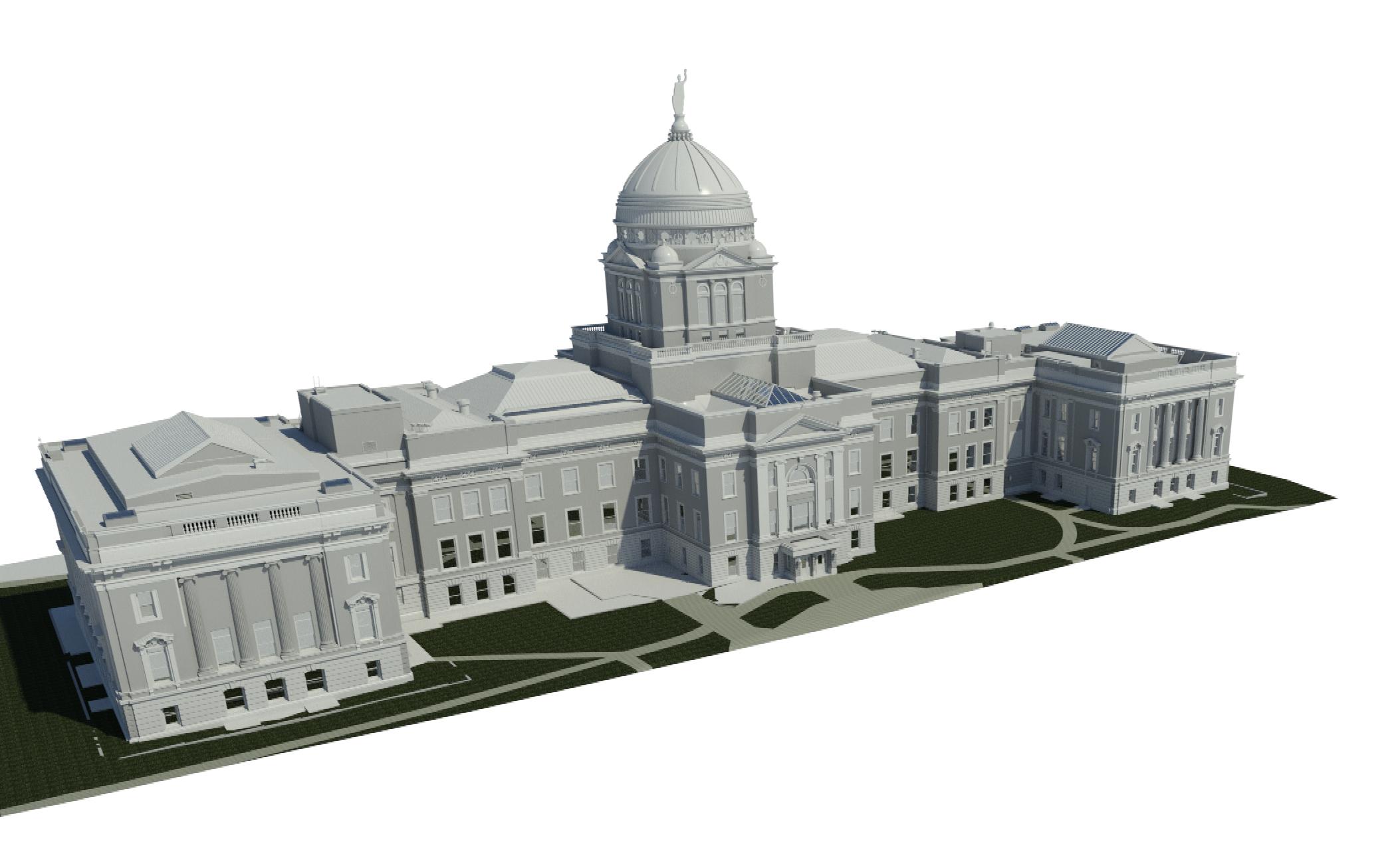
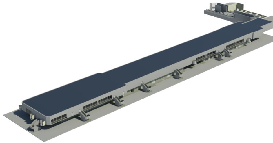
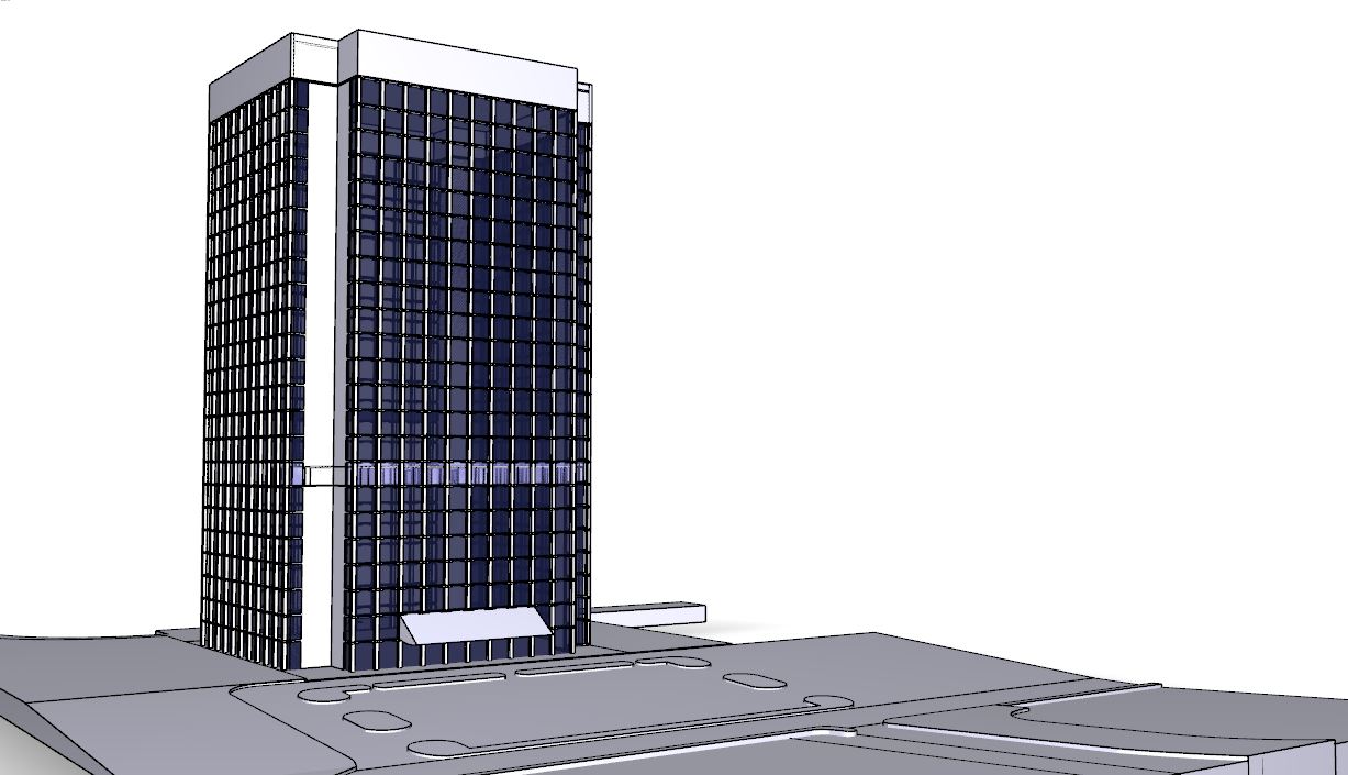
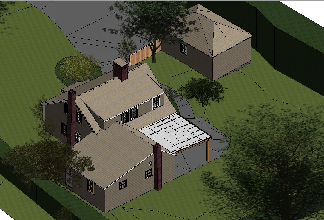
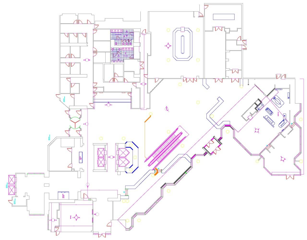
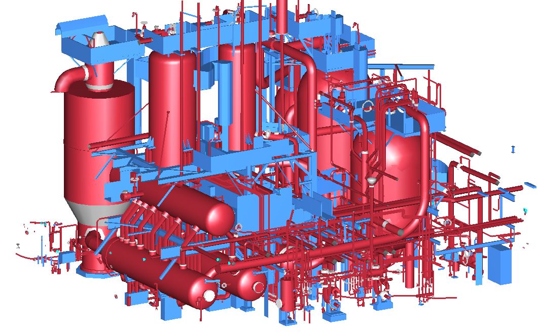
From the Montana State Capitol to the Waldorf Astoria.
A few of the jobs we're allowed to show. The full list, with galleries, is on the Work page.
Who we are
"Your point clouds are read by surveyors before a single line is drawn."
Questions
Questions we hear every week.
We already have surveyors on staff. Why would we need you?
We run full field scanning too, that is literally how this practice started. But if your team already owns the capture, we are not here to compete for that part of the job, we slot in as the modeling and processing bench behind it, the capacity you reach for when the backlog outgrows what your team can turn around without falling behind on the next job.
Will the work hold up against my client's QA?
That is the only thing we really measure ourselves on. A job is not finished here until your client has signed off on it, and the revisions to get there sit inside the cap rather than arriving as a change order. If the work does not hold up, we fix it at our cost.
What software do you work in?
Every day: CAD and BIM, including registration. If your downstream process needs something else, ask us. The answer is usually yes.
What is your turnaround?
It depends on LOD, area and scope, so we will not pretend there is one number. What we will do is give you a calendar when we quote, and show you progress against it at each milestone rather than going silent until delivery.
Do you process drone or photogrammetry data?
No. Lidar only, terrestrial or aerial. Photogrammetry is a genuinely different pipeline and we would rather turn the work down than learn on your project.
Where are you based?
Fourth State LLC dba 3D Geomatic Services is registered in Washington State; that is who you contract with, talk to, and are billed from. The processing team is in New Delhi, India, where our survey team has its origins. We are not cagey about it. It is also the honest answer to why the numbers work: you are not paying a US hourly rate for work this team has been doing since 2015.
What does a project cost?
It is quoted per project, driven by deliverables, LOD and area. Send us the scans and your spec and you will have a capped quote inside one to two business days. If you want to understand what actually moves that number before you send anything, the how we quote page walks through it, or ask us.
We have been burned by an offshore shop before. Why would this be different?
Fair question. Our modelers work alongside a LiDAR survey team that does field work too, so they read your scans the way a surveyor would. Registration issues, control problems and bad scans get flagged when your files arrive, not after we've modeled against them. And you don't have to take our word for it: we'll model a small area of one scan at no cost.
Let us model a piece of it first.
We know what it is like to hand a project to a firm you found on the internet. So do not take our word for any of this. Send us a small area of a larger job, and tell us what you need.
We will model it and send it back at no cost, usually inside three working days. You open it, you check the geometry against your own cloud, and then you decide whether we get the rest.